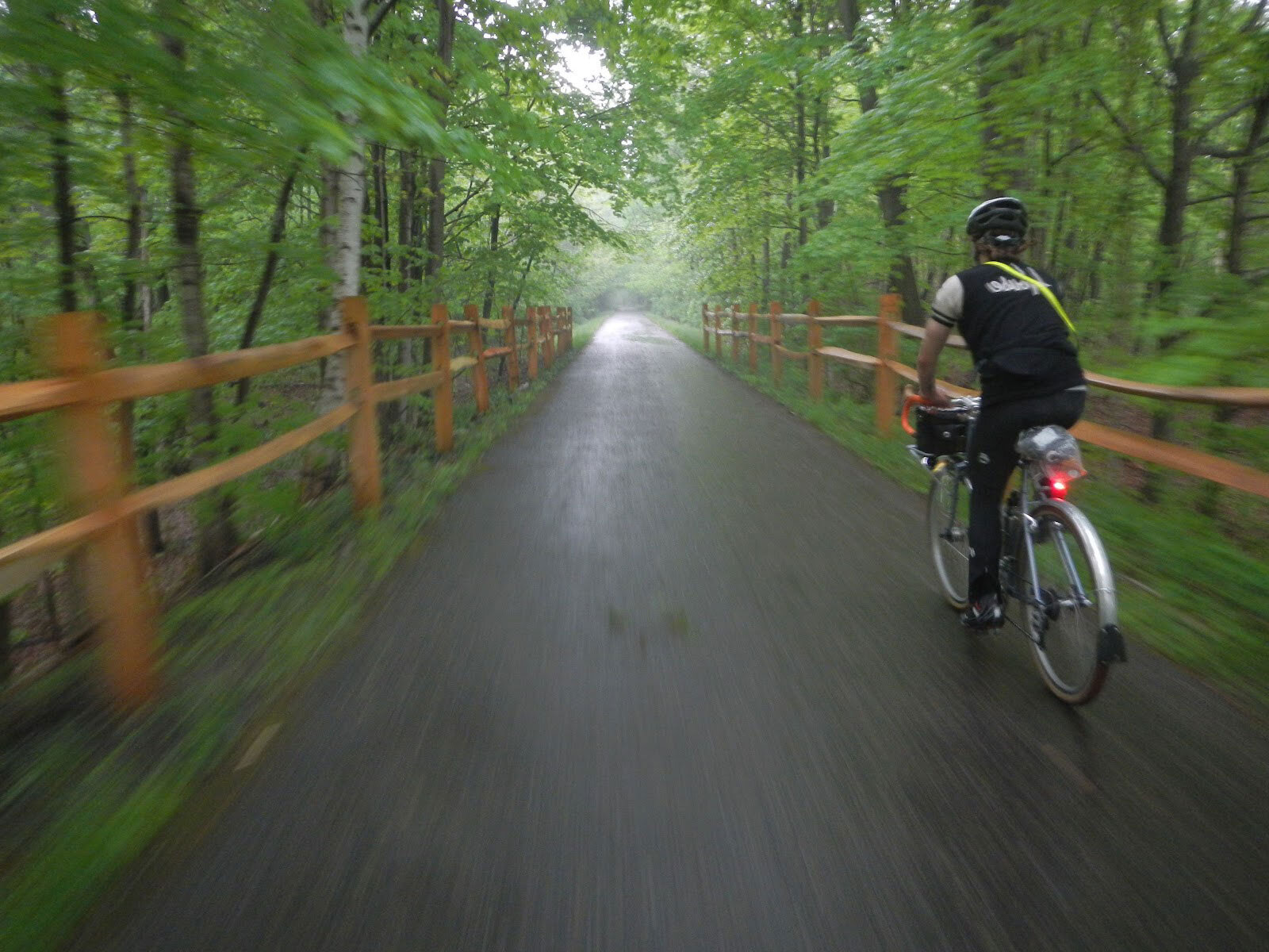
BROCHURE PDF
1  2  3  4

.facebook
For current trail conditions click on Facebook icon.


Welcome to the Harlem Valley Rail Trail, two sections totaling 15 paved miles through stunning rural Dutchess and Columbia County landscapes. Since the mid-1980's, the Harlem Valley Rail Trail Association has dreamed of a 46-mile rail trail in the Harlem Valley and Taconic Hills of eastern New York. The first segment of the trail opened in 1996.

Since then, the trail has grown in 1997, 2000, and 2005. Another 13 miles of abandoned rail bed are in different development stages, and most of another 18 miles have been acquired to take the Trail north into the Village of Chatham.
If you would like to become a member please click on the "membership" button.    


  13 Scenic Century Rides - Active.com - 6 of 12
Millerton, New York – July 28
The century ride has 8,783 feet of elevation gain as it rolls through upstate New York, with several miles on the car-free Harlem Valley Rail Trail. Millerton is near the New York state border with Connecticut and Massachusetts. read article


.mapnw11  

A Fantastic Holiday Surprise!
December 19, 2012
Governor Cuomo played Santa for the Harlem Valley Rail Trail Association this week announcing a $258,750 grant from the Regional Economic Development Council for planning the 11 mile leg of the Trail from its Chatham Village terminus to the Village of Philmont. This award, which is matched by $86,250 in local contributions, will be used to hire a consultant to prepare the design and construction documents for this northern section of the trail, aptly named the Northwest 11.

The grant follows progress on the Copake Falls to Hillsdale segment where design is completed and the cleared but not yet paved trail is scheduled to open for hiking in the near future.

CLICK on map for pdf


Our fundraising campaign to build
the next section of trail is underway.
It will extend 5 miles from Copake Falls to Fado Road, through the hamlet of Hillsdale. Please contribute as generously as you can!
CLICK HERE for fundraiser brochure pdf

CLICK on map for pdf


map

CLICK on map for pdf
     
  STATES: New York
COUNTIES: Columbia, Dutchess
LENGTH: 10.7 miles Wassaic Metro North Train Station to Millerton.
4 Miles Under Mountain Rd to Taconic State Park, Copake Falls.
TRAIL SURFACES: Asphalt
TYPICAL GRADE: 0.8 percent
TYPICAL CROSS SLOPE: 1.0 percent
TYPICAL PAVED WIDTH: 10 feet
TRAIL CATEGORY: Rail-Trail
TRAIL ACTIVITIES: Bike, Inline Skating, Wheelchair Accessible, Walking, Cross Country Skiing